Quick tips for easy use (or download the Interactive Paddling Map - How To):
- Click on “view larger map” link at the bottom left so map takes up your full screen.
- Click on the double arrow
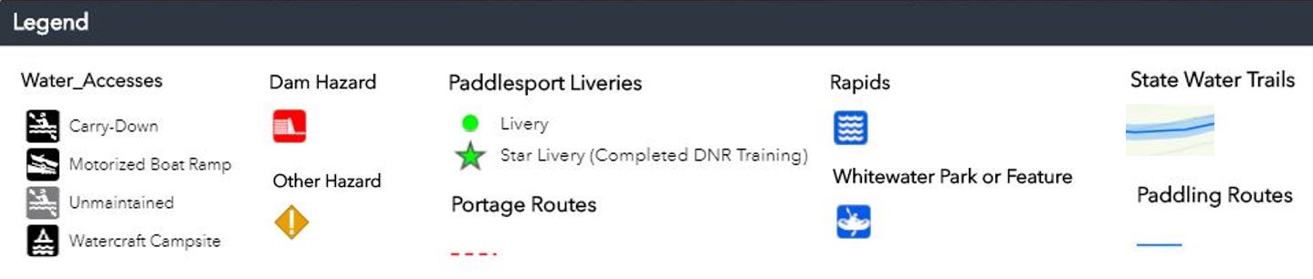
 icon at top left to display map legend
- Zoom in (scroll) to view different map elements—symbols and their labels pop up as you zoom in)
- Click on map’s symbols to view details
To report hazards or any corrections to this map, please contact John Wenck at john.wenck@dnr.iowa.gov.
Iowa rivers and creeks of paddle-able size are shown below. Various hazards are frequent, including constructed hazards such as dams and bridge construction, and natural hazards such as downed trees and swift currents.
View larger interactive paddling map.